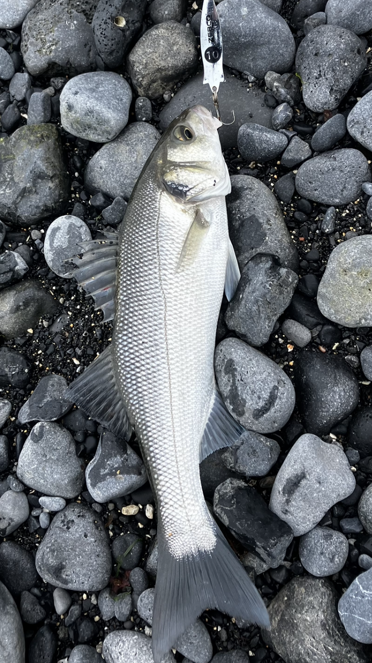
Most that know me, know that I do, or should I say did a lot of sea fishing. I still enjoy going out to local spots in hope of catching something either for the plate or a trophy picture before releasing it back.
And as time has gone by, I have amassed quite a few fishing spots around the country. Most are well known spots, others wouldn’t be as known and a few that are known to very few.
Sometimes we fishermen would share marks, to gain local knowledge for an area, and then try these places with varied success,
And as time went on, I compiled all the shore marks into a google earth .klm file. some with details of what fish to expect and others with either more detail or none at all (such is life).
The same happened with boat fishing spots on Galway bay, and the good thing with modern technology is that most phones nowadays geotag photos as they are taken. So from all the charter boats to taking my own boat out it was very easy to look back and see where I caught the fish and mark them on the phones Boating App.
Below is a screen shot of both boat and shore marks as I see them on my phone, if I zoom in on the Boating App it would show me a lot more marks than what is shown here, especially on the inner bay area. With Google earth it tries to show me everything in one go, hence why it looks a bit messy.
and now that I’m not getting any younger quite a few of the places are becoming more and more forgotten about. So that’s why they all reside in a file on my web server, computer and phone.